For nearly six decades the Open Space Council has been taking to the rivers and creeks around St. Louis to fight the effects of flooding, illegal dumping and careless littering with an army of thousands of dedicated volunteers. More are always welcome.
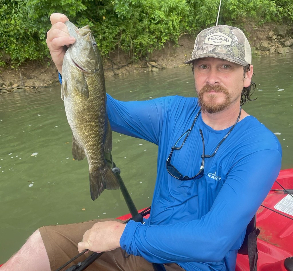
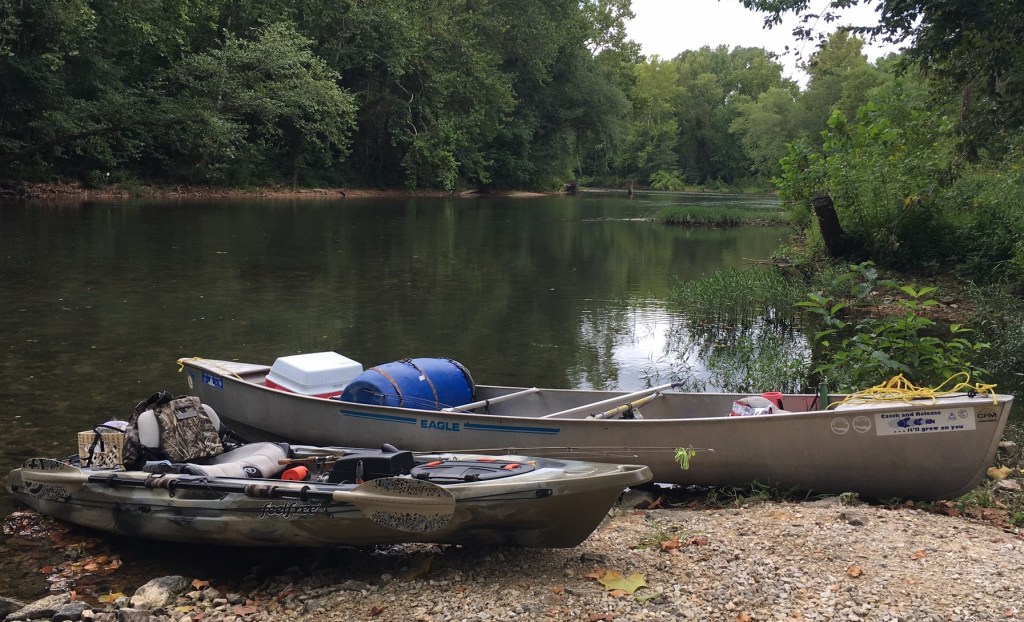
On Saturday, Aug. 23, participants in the 58th annual Operation Clean Stream will be canoeing, kayaking, and combing the shores, parks and trails along the Meramec River and tributaries throughout its lower watershed.

Since 1967 the effort has become one of the most significant and longest running river restoration projects in America. Opportunities abound for involvement in the organization’s mission of “conserving, restoring and sustaining land, water and other natural resources.”
Operation Clean Stream events this weekend include dozens of work sites. While official registration is closed for most of them, extra helping hands are always welcome. You may not get a T-shirt, but you can get the satisfaction of doing something to make a difference.
Local activities include land-based cleanups at Byrnes Mill City Park, Minnie Ha Ha Park in Fenton, Lower Meramec Park, Unger Park, Emmenegger Park, Castlewood State Park, Simpson Park, Pacific, and at Meramec Bottom Road under the Highway 21 bridge. Water-based work is scheduled in Arnold from the Flamm City Access to the Mississippi River, at Simpson Park Lake, Route 66 State Park, from Green Tree Park to George Winter Park, at Allenton Access, from Interstate 44 to Hwy. 30, and as far upstream as Sullivan and Steelville.
Details are available at openspacestl.org. Also on the website are stunning numbers about the amount of garbage Operation Clean Stream has extracted over the years. Since its inception, an estimated 100,000 volunteers have removed 20,000 tires. In 2024 workers found 819 tires and more than 25 tons of trash. The sad news is that the numbers continue to be similar every year.
The Open Space Council is celebrating its 60th anniversary this year and its history includes local residents among its founders. Byron Schubel of Jefferson County Abstract in Hillsboro was there with conservation champion Leo Drey and St. Louis attorney Davis Biggs in April 1965 when the area’s first activist environmental group was created.
With a focus on the Meramec River the council helped secure public property along the stream including places like Queeny Park, Bee Tree Park, the Chubb Trail and Castlewood State Park. Public river accesses were established at Allenton, Times Beach and Glencoe.
Other recreation and preservation sites secured through the influence of the Open Space Council include the Edward “Ted” and Pat Jones Confluence State Park and the Columbia Bottoms Conservation Area in St. Charles and St. Louis counties where the Missouri and Mississippi rivers come together. Mastodon State Historic Site, Emmeneger Nature Area, Unger Park, Forest 44 Conservation Area, Grant’s Trail and the Great Rivers Greenway District owe their existence in part to efforts of the council and its board members.
Efforts to protect the pristine watershed of the 13-mile LaBarque Creek near Eureka have had Open Space Council assistance including work to purchase the Myron and Sonya Glassberg Family Conservation Area with its stunning panorama overlooking a bend in the Meramec River where LaBarque Creek enters the bigger stream.
For more information on the this weekend’s cleanup and the many other activities the organization does throughout the year to protect the environment and our natural resouces visit openspacestl.org.
John Winkelman has been writing about outdoors news and issues in Jefferson County for more than 30 years and was the Associate Editor for Outdoor Guide Magazine.