While many people look for more ways to exploit the earth and its resources, it is heartening to known that places still exist that are dedicated to preservation of our planet in its almost natural state.
On Dec. 31, 2024, in recognition of the 60th anniversary of the Wilderness Act of 1964, the Missouri State Parks system designated the Bryant Creek Hills Wild Area within the new Bryant Creek State Park near Ava, in southwest Missouri.
The area is the 13th in the state to be designated based on the criteria of the Wilderness Act, which states the area represents unspoiled property “where the earth and its community of life … appear to have been affected primarily by the forces of nature, with the imprint of man’s work substantially unnoticeable.”
Several of these special places are located in the Jefferson County region, with the closest being the 2,256-acre Coonville Creek area at St. Francois State Park, and 2,080-acre Whispering Pines at Hawn State Park in Ste. Genevieve County.
In addition to the acknowledgment for Bryant Creek Hills, the state Department of Natural Resources announced an 800-acre expansion of the 5,000-acre Goggins Mountain Wild Area at Johnson’s Shut-Ins State Park.
That section of land bridges the gap between the Goggins Mountain Wilderness Area and Bell Mountain Wilderness Area (9,143 acres) in the Mark Twain National Forest. With the state park and national forest lands combined, there is now a total of nearly 15,000 acres of continuous wilderness. Only the 16,277-acre Irish Wilderness Area in Mark Twain National Forest near the the Eleven Point River is larger in the state.
“The addition to Goggins Mountain Wilderness Area and connection to Bell Mountain Wilderness Area make a great through-hike on the Ozark Trail, consisting of rugged topography, igneous glades and spectacular vistas for wilderness users,” said Allison Vaughn, natural resource ecologist with Missouri State Parks. “This connection has long been a wish-list item for the wilderness community in Missouri.”
The Ozark Trail includes 400 miles of hiking opportunity in Missouri with the expressed goal of establishing a through-hike that connects the St. Louis area to the Ozark Highlands Trail in Arkansas to create a 700-mile long hiking opportunity.
Other designated wild areas in southeast Missouri include the 1,110-acre East Fork area at Johnson’s Shut-Ins, 1,300 acres called Indian Creek at Trail of Tears State Park near Cape Girardeau, and the 4,420-acre Mudlick Mountain area at Sam A. Baker State Park.
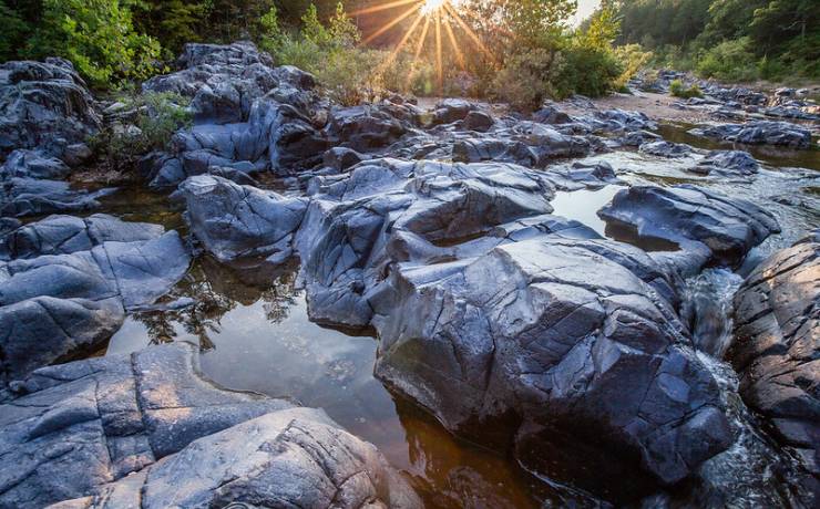
The Rock Pile Mountain Wilderness, southwest of Fredericktown is 4,238 acres inside Mark Twain National Forest. Its name reflects its most unique feature, which is a large circle of granite stones that humans had at some time in the past brought to the top of the 1,305-foot summit. A three-mile long trail connects Little Grass Mountain to Rock Pile Mountain.
As acknowledged by their wild designations, these areas are not places to find ample amenities or even easy to find trail markers. Hiking requires additional preparations, precautions and equipment. Most of the areas have no access to potable water, and cell phone reception in the National Forest is spotty in its best locations.
For more information on state parks and historic sites, visit mostateparks.com.
John Winkelman has been writing about outdoors news and issues in Jefferson County for more than 30 years and was the Associate Editor for Outdoor Guide Magazine.
